Flood / Low Water Status and Flows
The Upper Thames River Conservation Authority is one of 36 Conservation Authorities in the Province of Ontario, Canada. Our area of jurisdiction, the upper watershed of the Thames River, covers 3,430 square kilometres in southwestern Ontario and is home to approximately 593,700 people. The Thames is a Canadian Heritage River.
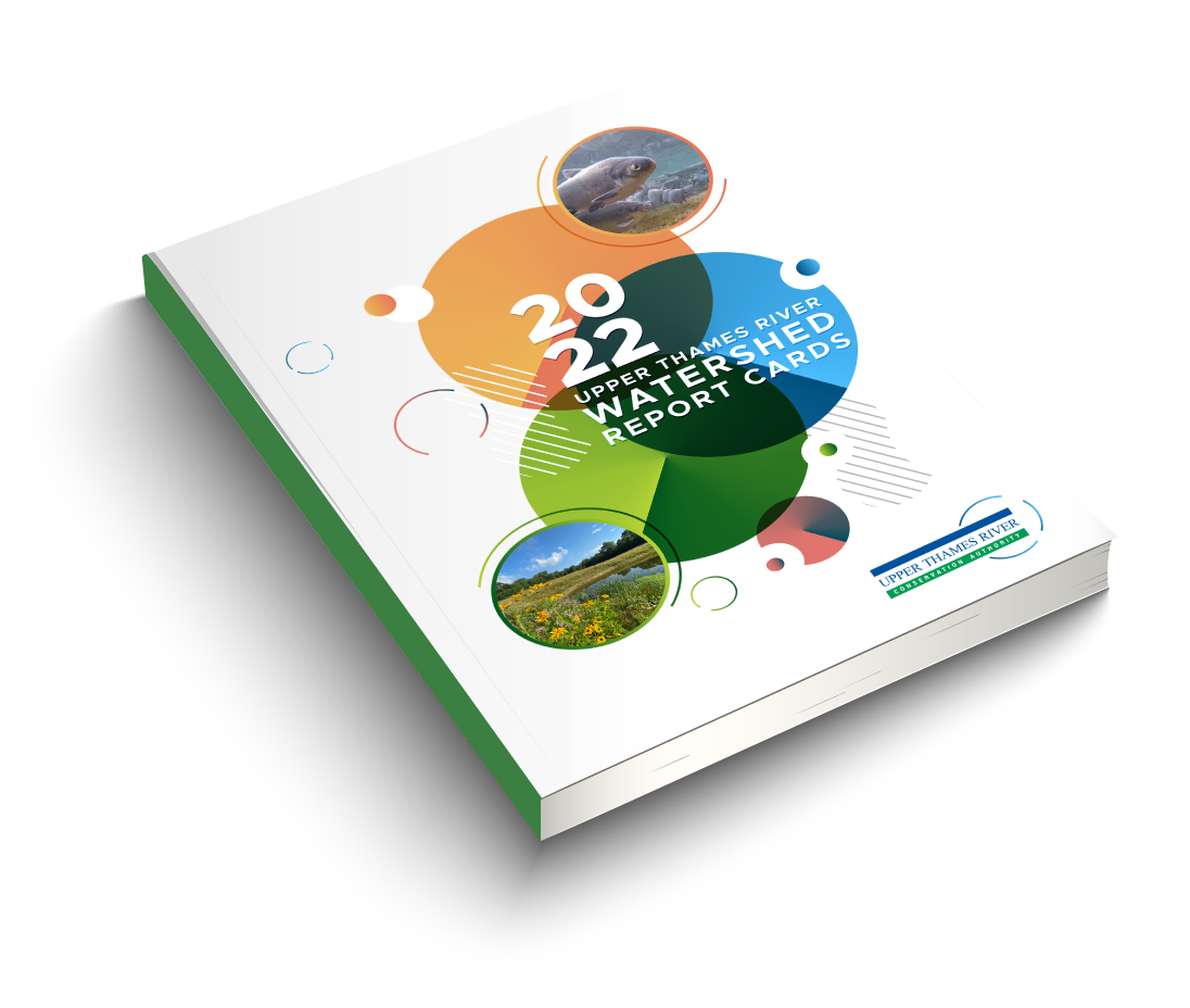
Explore the Watershed Report Cards
Check out the Interactive Map and StoryMap:
- discover the surface water quality and forest conditions grades for each watershed,
- learn about highlights of progress made over the last five years,
- use data filters to customize and visualize information, and
- explore more interactive tools!
The UTRCA is updating its regulatory modelling and mapping, which is used to assess risk for people and property under the Conservation Authorities Act. Find out more about regulated areas maps.


