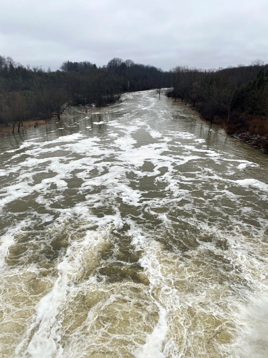
Responding to the First Snowmelt and Rain Event of 2023
“We have measurements of how much snow is on the ground at locations across the watershed. We also know the amount of the rain that is forecasted for the region and the general conditions of the ground. In the winter months, the ground is usually frozen or saturated,” says Mark Helsten, Senior Water Resources Engineer at the Upper Thames River Conservation Authority (UTRCA).
With that information, combined with historical data, Mark and the Water and Information Management (WIM) team use flood models to estimate how much water is headed into waterways, and how high the water will rise at various locations along rivers and streams in the Upper Thames River watershed. Modelling and historical records also help determine how quickly the water will enter a watercourse, and then how quickly it moves downstream, through the system.
As 2022 was coming to an end, about 40 mm of rain was forecasted for the region. Since UTRCA staff collect snow measurements twice per month, they knew there was an additional 10-25 mm of water content in the snow, as well as how soon the snow would melt and release water. A winter storm had hit many parts of southern Ontario just days earlier.
Noticing the impending rain, the WIM team quickly mobilized, reviewing additional information to assess the flood risk. “Rainfall, water levels, and temperature are measured and recorded at remote locations at least hourly. The data comes into our databases from the field,” says Mark.
With the ground being saturated or frozen and unable to absorb much more water, the possibility of flooding was presented. This type of snowmelt and rain event is likely to happen at least once each year, and is the most common cause of flooding in the Upper Thames River basin.
This event happened to occurred in the middle of the Christmas holidays when most UTRCA staff are away from work, enjoying time with friends and family. However, there are always eyes on weather forecasts and watershed conditions, and staff are always ready to respond to help protect people and property.
When it was determined that there would be enough runoff to raise water levels, the UTRCA issued a Water Conditions Statement – Water Safety flood bulletin to alert the public. The bulletin is issued directly to Municipal, First Nation, and Western University Flood Coordinators, OPP and local police, and several other agencies. It is also posted on the UTRCA website and Twitter page.
As the rainfall continued, the WIM team paid close attention to the weather forecast and information from the field. “We make sure that the event is progressing as predicted, and look for peak values happening upstream to get a sense of how the event’s timing will proceed downstream,” explains Mark. In this event, the peak water flow upstream of Fanshawe Reservoir was 300 m³/sec, but Fanshawe Dam was able to reduce the flow by 40% so only 180 m³/sec was released downstream from the dam. A cubic metre (m³) fills about two bathtubs, and 100 cubic meters fills an in-ground swimming pool.
All flood bulletins were ended by January 6th. At that time, the UTRCA did not have concern for additional flooding.
Contact: Mark Helsten, Senior Water Resources Engineer


