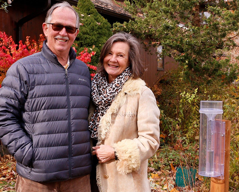
Community Science Volunteer Spotlight: Mike and Ruth John (UTRCA Weekly, December 3, 2021)
This year, the Upper Thames River Conservation Authority (UTRCA) has been working with 12 watershed property owners to pilot a new Community Precipitation Monitoring Project. Participants have been measuring and recording daily precipitation using the online Community Collaborative Rain, Hail and Snow Network (CoCoRaHS) platform. CoCoRaHS is a community based network of volunteers across North America who measure and map daily precipitation.
Community science engages members of the public in collecting data that can be used to increase scientific knowledge and inform decision making. This practice is widely used in various environmental monitoring projects and programs to track precipitation patterns, collect water quality information, survey amphibian, reptile, and bird populations, and more!
Mike and Ruth John have been committed volunteers since the beginning of the project and have uploaded their rain gauge information every day! They shared their experience so far.

1) How did you get involved with the UTRCA?
“We joined the Dorchester Mill Pond Committee shortly after moving to Dorchester. UTRCA is a partner with the Millpond Committee and we then got involved with several of their projects including Stream of Dreams and collecting turtle eggs for incubation and release.
Ruth applied for TD Friends of the Environment funding to carry out tree plantings at area schools and UTRCA was, once again, a partner on this.
When Linda Smith, UTRCA Community Partnership Specialist, mentioned the CoCoRaHS project we immediately volunteered.”
2) Why did you want to participate in the UTRCA’s Precipitation Monitoring project?
“We feel strongly about the value of community science and we like that ordinary people can help contribute data that, collectively, becomes very powerful. We’re talking about tens of thousands of people collecting information. We are quite concerned about climate change so that was one of the main motivators of getting involved; our data is contributing to larger projects aimed at understanding and mitigating the effects of climate change.
Overall, when you volunteer you get to meet all these people who feel the same way you do, and that’s awesome.”
3) Does the information that you gather benefit you – is it helpful knowing how much rain falls on your property?
“For now it’s mostly for the fun of it and contributing to the project at large. It might be more insightful moving forward when we can compare rainfall year over year. It’s useful knowing the specific quantity of rain you have received especially when you just planted trees. The rain gauge and mobile app are very straight-forward to use and it’s really easy to get accurate information.”
4) Has any of the information surprised you?
“We were surprised by how sensitive the gauge was. You can get really accurate information. We also underestimated how much rain we were receiving at times – once or twice we’ve had an inch of rain within a 24 hour period. Without the rain gauge, we wouldn’t have realized that much rain had fallen on our property.”
Community Precipitation Monitoring Project – video and photos with Mike and Ruth John.
More about the Community Precipitation Monitoring Project: