GIS Day 2022 at Western University
Last November, the Upper Thames River Conservation Authority (UTRCA) participated in Western University’s Geographic Information Systems (GIS) Day at the Western Libraries’ Open House event.
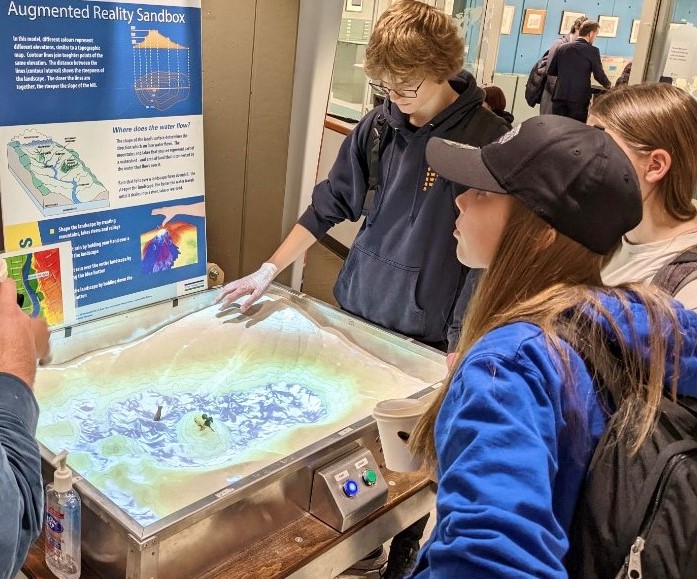
The day brought students, colleagues, and community leaders together to showcase the latest in GIS products and applications. UTRCA staff brought its interactive Augmented Reality Sandbox to teach attendees about the influence of topography on water flow across the landscape.
Craig Irwin, Water Quality Specialist with the UTRCA, gave a presentation titled “Integration of Field Maps and Survey123 for Agricultural Data Collection.” He illustrated how GIS applications were used to collect information about farming practices as part of the ONFARM project. ONFARM is an applied research initiative which supports soil health and water quality research on farms across Ontario. The data collection tool was utilized by five different conservation authorities as part of the collaborative project. His presentation was awarded a People’s Choice Award as voted on by his peers. Congratulations, Craig!
This was the UTRCA’s fourth consecutive year participating in the event and we look forward to the next GIS Day on November 23, 2023.
Contact: Craig Irwin, Water Quality Specialist


