Dorchester CA
 Open to Public: Yes
- Size: 7.7 ha (19 acres)
- Entry Fee: None
- Permitted Uses: Hiking, dogs-on-leash, picnicking, fishing (all other activities prohibited)
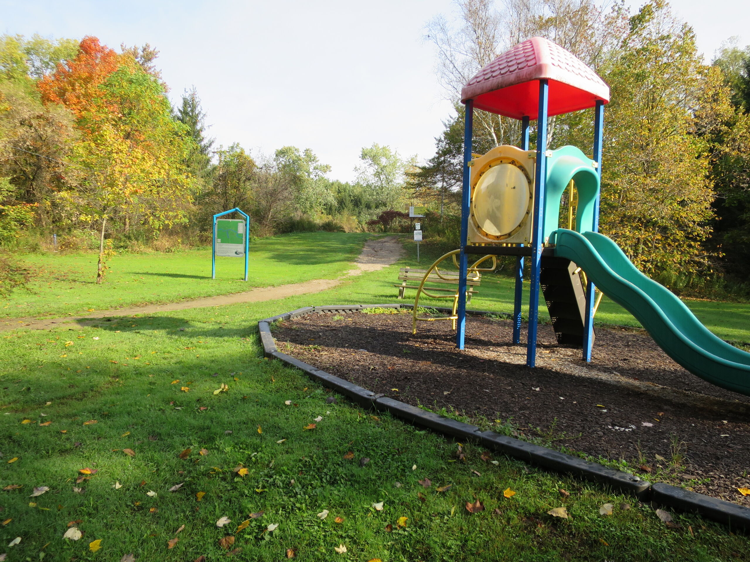
- Facilities: Small parking lot, sign kiosk, garbage cans, bench, playground equipment
- Address: approximately 3778 Catherine Street, Dorchester
- Managers: Thames Centre
- Trails: 1 – 2 kms with a link to the Two Schools Trail
- Map of Dorchester CA
This conservation area features a small dam and pond at the confluence of two creeks. The dam is earthen with a drop-inlet spillway. Foot trails go around the pond and through the woods and conifer plantations. The trail, also called the Ross Trail, connects with the Two Schools Trail (to Northdale Central Public School and St. David Catholic Elementary). There is a bright green kiosk with a map and information on the community trails of Dorchester.
Dorchester Conservation Area contains wooded slopes with oaks, Sugar Maple, American Beech, and Black Cherry while poplars rim the pond. The UTRCA and community groups have naturalized more of the lawn area over the years through the planting of native trees and shrubs and the installation of bird boxes. Signs warn the area is subject to flooding.
History
The Conservation Area was opened to the public in 1958 following the construction of the earthen dam at the confluence of the two streams on the property. The pond was created for swimming, fishing, and viewing. The Dorchester Lions Club built a bathhouse and booth and supervised and maintained the property for many years. The Dorchester Scout Troup also used the area for many years and renovated the Lion’s building in the late 1960s. As public use of the CA changed over time, the buildings had little use and were removed in the 1990s.

