Harmony CA
- Open to Public: Yes
- Size: 13 ha (33 acres)
- Entry Fee: None
- Permitted Activities: Hiking, dogs (on leash), picnics (all other activities prohibited)
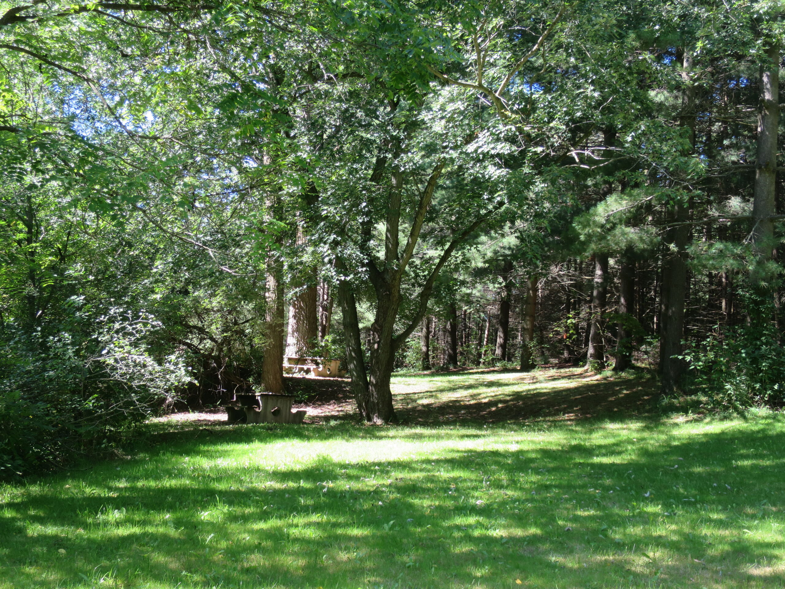
- Facilities: Picnic table, small parking lot, short trail
- Address: 3178 Perth Line 26, Perth East
- Managers: Downie Purple Star Loyal Orange Lodge 313
- Trails: 5 km foot trail
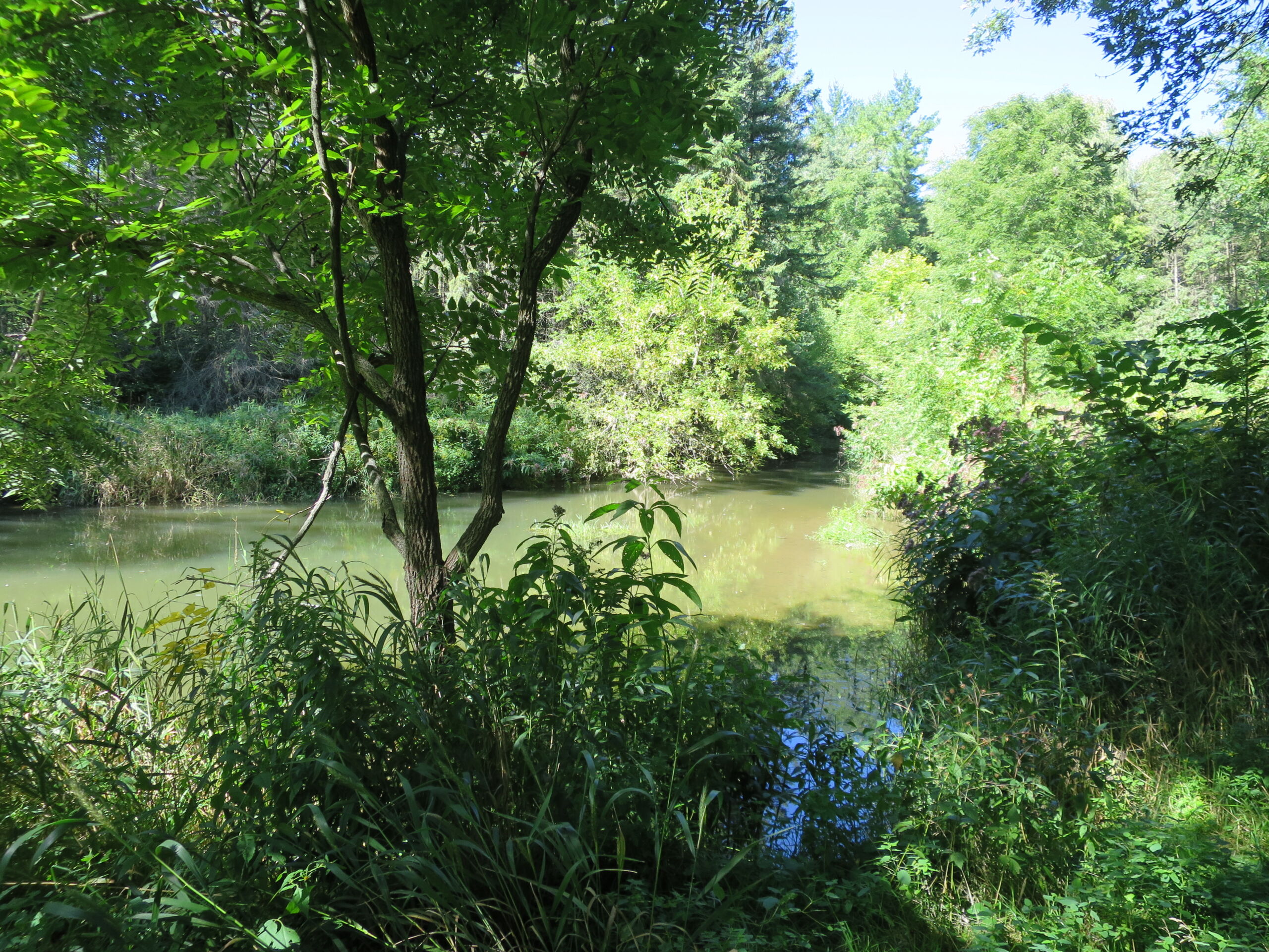
The Harmony Conservation Area (CA), located south of Stratford, features a small day-use area around a dam and pond and a short trail. It is used for picnics and as a rest stop. The property extends approximately 1 km upstream along a steeply sided watercourse (Central Drainage Works), a tributary of Trout Creek, but much this area is inaccessible. The day use area is maintained by the Downie Purple Star Loyal Orange Lodge 313.
History
The Harmony Conservation Area was built on the site of an original dam that served a saw mill, woolen mill and gristmill. The UTRCA acquired it in 1954 from the estate of John Weldon Powell. Development of the site was delayed in the hope of acquiring an adjoining piece of property, but it could not be obtained. In 1966 the Authority built a small rubble dam, about two feet high, creating a small pond for bathing/swimming. The parking lot was built by the County of Perth, in return for land and fill needed to construct a new curve at Harmony Corner.
The Conservation Area is named after the nearby Hamlet of Harmony. The story behind the area’s name centres around two early settlers, Knott and Dunsmore. Both wanted the community named after themselves, but they eventually agreed to give in, hence the name “Harmony.”


