2023 Field Surveying Team Measures Record Number of Elevation Points
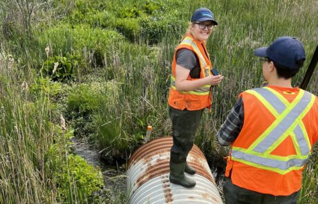
Our 2023 field survey team wrapped up the surveying season just in time for the holidays. Once again, they had a successful season collecting information on stream depth, shape, and bank heights while also measuring the size and shape of bridges and culverts across our watershed. They measured over 28,000 elevation points and surveyed around 280 bridges and 1,760 stream cross-sections since the season started in early June. This sets a new record for number of elevation points collected in a year!
The team was lucky to welcome back Bailey Arnold, and she was joined by first timers Kenny Tomljenovic, Nandini Patel, and Michelle Dyment. This team of four hit the ground running in June and didn’t stop until snow started to fall in December.


The flood modelling team heavily relies on the collected survey data as it is a key part of the UTRCA flood models. Survey data is the first component used to create a new model, which is then then used to simulate different flows in a river and determine where a flood could occur. The survey data helps determine how much water could flow through a bridge opening during a flood event and how much water a stream can hold before it starts to flood over the banks.