Thames River Regulated Area Map Update
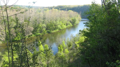
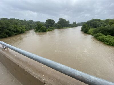
The Upper Thames River Conservation Authority (UTRCA) is updating regulated area maps along the Thames River using improved scientific data, technology, and mapping tools to more accurately identify natural hazards and regulated features.
The updates include the following study areas:
- Delaware Study Area – from the western limits of the City of London to the UTRCA watershed boundary near Delaware.
- South Thames Study Area – from Pittock Dam in the City of Woodstock downstream to the City of London's eastern limits
Regulated area maps help keep people and property safe by identifying areas that may be affected by Ontario Regulation 41/24. Regulated areas include watercourses, wetlands, hazardous lands, river or stream valleys, areas close to the shoreline of a Great Lake or inland lake, and lands adjacent to these features.
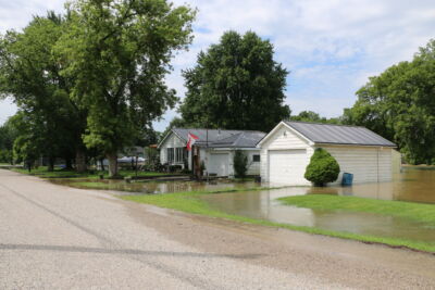
The UTRCA uses these maps when reviewing development proposals within the watershed. If a property is located within a regulated area, a site-specific review may be needed to determine whether a Conservation Authority permit is required for the activities proposed.
Property owners and other interest-holders can go to Engage Thames River website, to learn more about the project, find their property on the draft maps, and submit feedback.
Project information will also be shared at two Public Information Meetings:
- Delaware Study Area Public Information Meeting – Tuesday, August 25, 6-8 pm, at the Komoka Community Centre (133 Queen Street, Komoka).
- South Thames Study Area Public Information Meeting – Thursday, August 27, 6-8 pm, at the Lions Community Hall, Flight Exec Centre (2066 Dorchester Road, Dorchester).
The public engagement period will remain open until October 2, 2026. All feedback received will be reviewed and considered before the final maps are presented to the UTRCA's Board of Directors for approval on October 6, 2026.