GIS Day 2023 at Western University
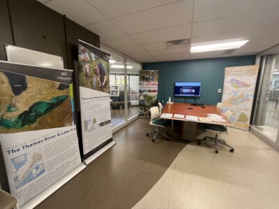
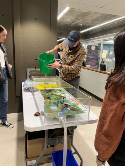
The Upper Thames River Conservation Authority (UTRCA) participated in Western University’s GIS Day on November 15th, displaying GIS (Geographic Information Systems) expertise used in various projects at the open-house event hosted by Western Libraries. The event brought students, colleagues, and community leaders together showcasing the latest in GIS products and applications. UTRCA staff brought our Flood Hazard Water Table, teaching attendees about the importance of flood hazard mapping and planning in our watershed. The watershed report cards were also on display. This was our 5th consecutive year participating in the event and we hope to see you there next year.
Water Quality Specialist, Craig Irwin, gave a presentation as part of the lightning talk series throughout the week. His presentation, titled “Effectively Communicating the 2022 Upper Thames River Watershed Report Cards”, illustrated how StoryMaps have been successful in conveying the report card results to the modern day user. His presentation was awarded Best Community Member Presentation as voted on by his peers.
Contact: Craig Irwin, Water Quality Specialist