Flood Forecasting and Warning
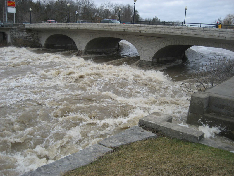
St Marys – North Thames River at the Queen Street bridge, April 2008
The UTRCA provides flood forecasting and warning to the watershed municipalities to inform residents and businesses of impending dangers. Flood forecasting is accomplished by operating:
• stream gauges,
• snow measuring courses, and
• precipitation and temperature measuring stations.
The snow measuring courses and weather stations provide detailed information on the flood potential in the watershed. The additional information from the stream gauge recorders allows staff to monitor the progress of runoff events throughout the watershed. These data are most useful in predicting the magnitude and time of arrival of peak flow rates and water levels at downstream locations.
A system of flood warning is also essential, because the UTRCA’s flood control structures play a significant role in controlling floods on the Thames, but do not guarantee against the possibility of flooding. The aim of the flood warning system is to provide routine flood bulletins to key agencies and officials in the watershed and, in times of flood danger, to pass on necessary warning to officials and to citizens whose lives and properties may be in danger.